12
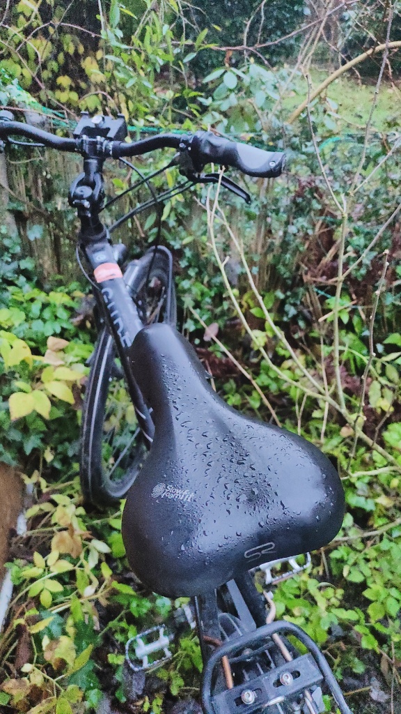
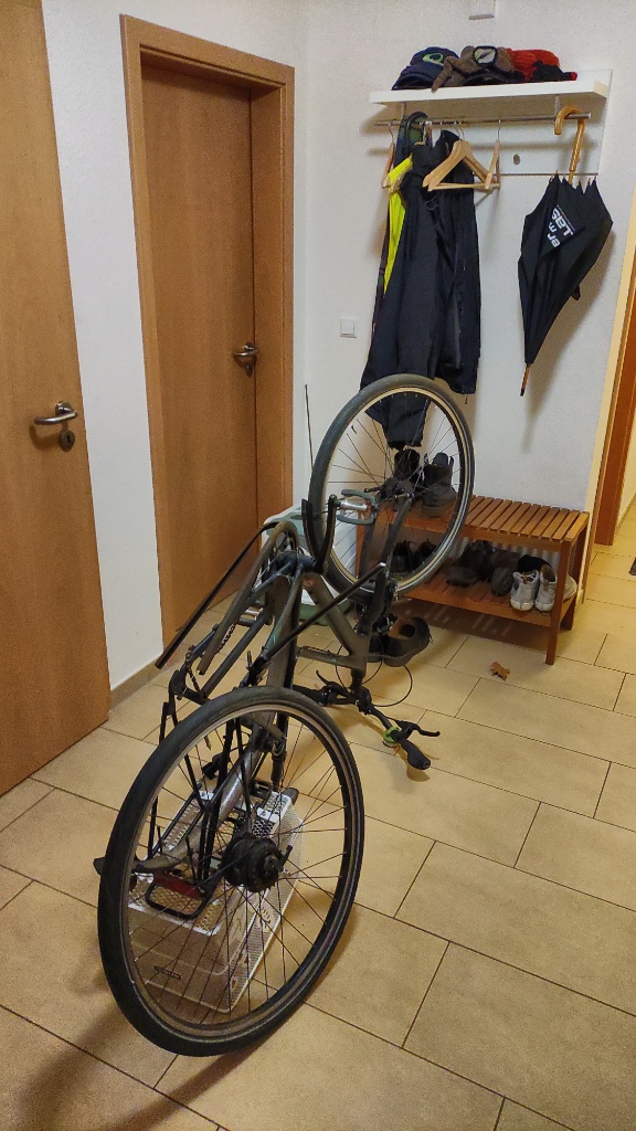
Fahrrad bei 3°
Gibt ja auch gemütlicheres.
Ein Loch ist im Eimer
Nach Monaten der Diskussion einfach Mal das Loch wirklich suchen und Flicken.
ADAC zu hilf
Immer wieder was neues. Heute: Keilriemen zerfleddert. So ohne Servolenkung, Lichtmaschine und co ist es dann doch nicht so schön fahren.

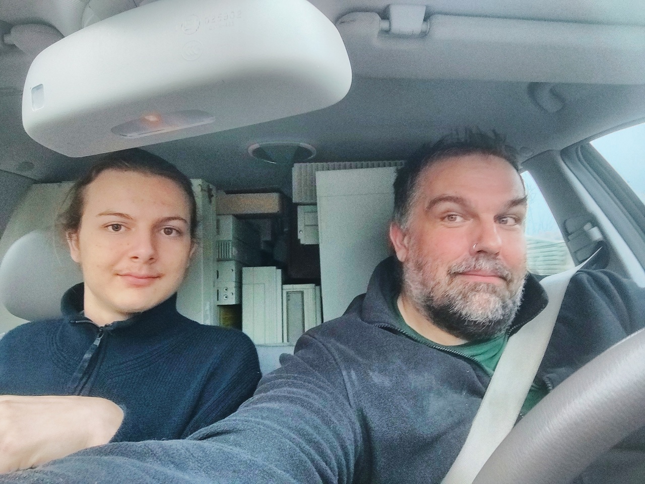
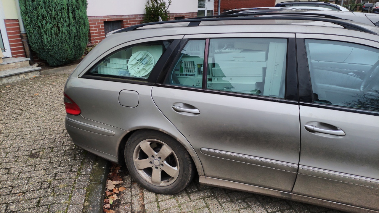
Historische Rechner
Eine neue Ladung historische Rechner. Digital, Sun, HP, NCD, Wyse.
Das basteln nächstes Jahr ist gerettet.

Nachtschwärmer
Der letzte Bus ist weg.

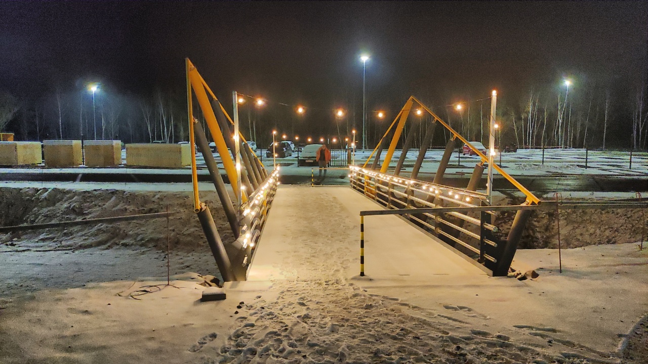
Zugbrücke
Wenn ich groß bin und meine eigene Firma habe werde ich auch so eine Brücke haben.
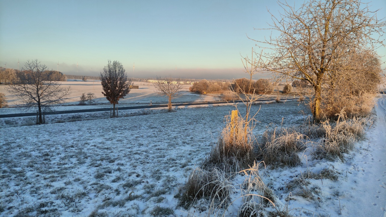
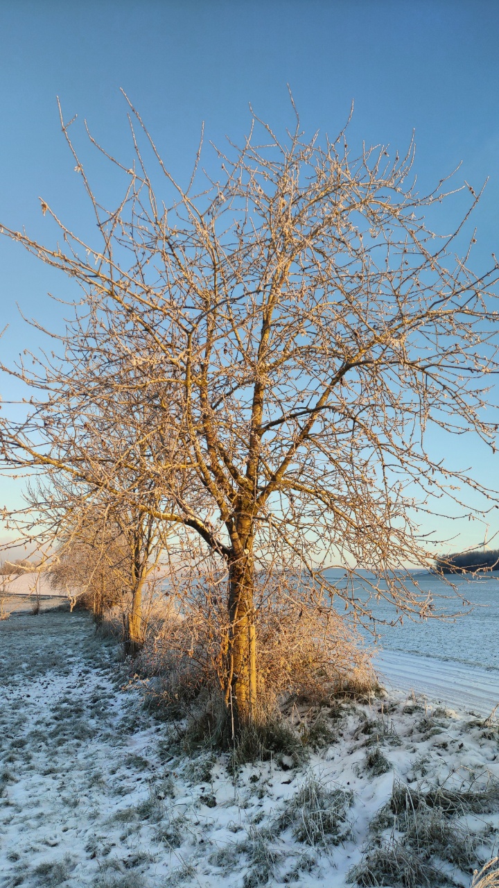
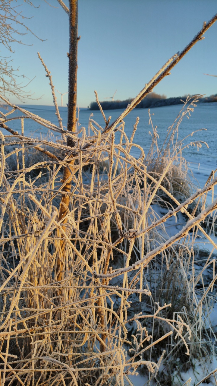
Schnee
Es ist kalt und es hat mehrere Tage geschneit. Der Kaffee der heute morgen auf das Lenkrad getropft ist war gefroren bevor wir losgefahren sind.
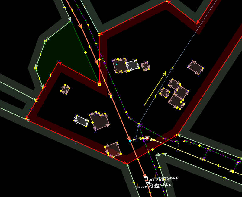
Geometry mapping antipattern: Keep left
For some time i was thinking about making a blog post series about geometry mapping antipattern which i find often in our dataset. So here we come with No. 1. "Keep Left"
Have you ever wondered why you get stray "Keep left", "Keep right" announcements from your navigational system although you are on a straight road cruising ahead?
It because of geometry. All announcements concerning the driving direction are direct causes of the street geometry. So when you get an announcement, have a look at the geometry.
One of the issues is sharp angle intersections. The navigation sees it as a road "split" so it tells you which of the two ways you need to take.
But lets have a look at an example intersection i found within 30 seconds.
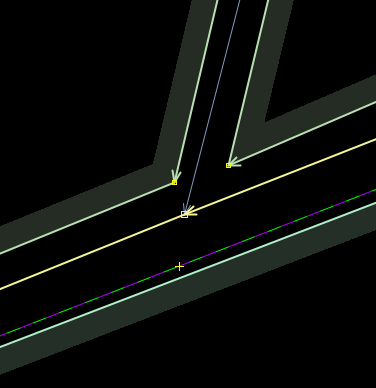
You see - the side road joining into the tertiary goes in a straight line into the main road. But is it really at this angle? Lets have a look at the aerial photo:
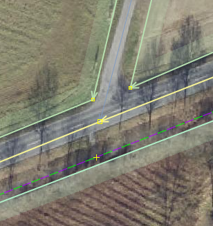
You can easily see that taken the rough direction of the road the intersection is correct. But are you actually merging like this into a busy main road? Typically not. You stop nearly at 90° to the main road to have clear sight into both directions. And when you take a very close look at the roads area you'll see a trumpet like widening of the road for the vehicles to stop at 90°.
So when following the center line of the road, and on the last 10m we follow the center line of the trumpet we suddenly see a 90° intersection show up.
See this example. The grey area shows your asymmetric trumpet like area, and the yellow line shows the real center line of your road.
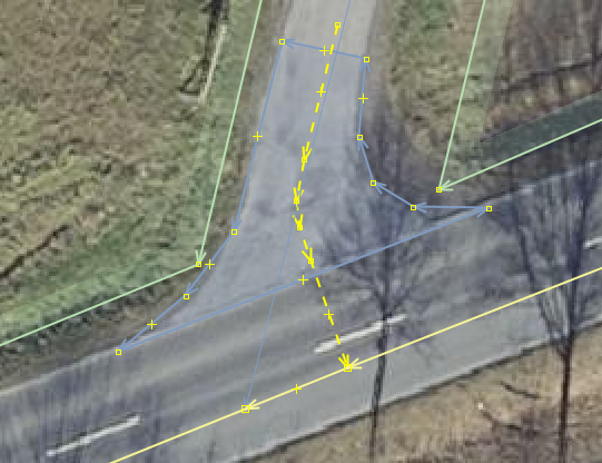
So when drawing simple intersections like this, most likely in the countryside, have a closer look and try to maintain a half way 90° Angle. If you hear stray announcements. Remember the position and have a look at the geometry.
Geometry mapping antipattern: landuse=snake
No. 2 of my antipatterns: "Landuse drag". Mappers seem to have the tendency to make little small pieces into one large, huge, even gigantic object. So they start dragging the landuse (and other objects) further and further along a road, across a road or whatever. The resulting object then rather looks like a very long snake following some arbitrary other object.
These snake like objects, or huge objects have the tendency to break pretty regular. More complexity is a unavoidable consequence by suddenly you are in the need of multipolygon relations, or unexperienced mappers accidentally break the object.
So - With landuse its like with all others things in life - Keep it simple and stupid.
See this example where someone tried to include the 4 trees on the other side of the road into the MUCH larger forest area. The falsely included area of the streets outweights by far the correctly included area. The other problem is that the boundaries of the landuse now do not follow visible contrast in the aerial imagery. Very confusing.

Another example is this. Landuse is beeing dragged along a street, making the landuse=residential a backdrop of the street. It includes the full streets width although only one side really contains residential usage. The south-east part should really be its own landuse stopping at the shoulder of the street. Again the abuse of landuse to try to make a "gapless" map makes these geometries a lot more complex than they need to be.

The last example for today is this. Dragging the landuse across a huge intersection, just to include the 4 other building on the other side. This includes more area used for traffic than it includes real residential area. Again the perimeter of the landuse does not follow any visible contrast boundary in the aerial imagery, crossing the roads in absurd and completely random angles.
So to summarize: Landuses should follow stuff you can actually see in an aerial. They should not erratically cross other objects or include other objects/area which are not represented by this landuse. Landuses are not a "backdrop" behind streets just to make the map "gapless".
If it gets to complicated, split it into smaller chunks.
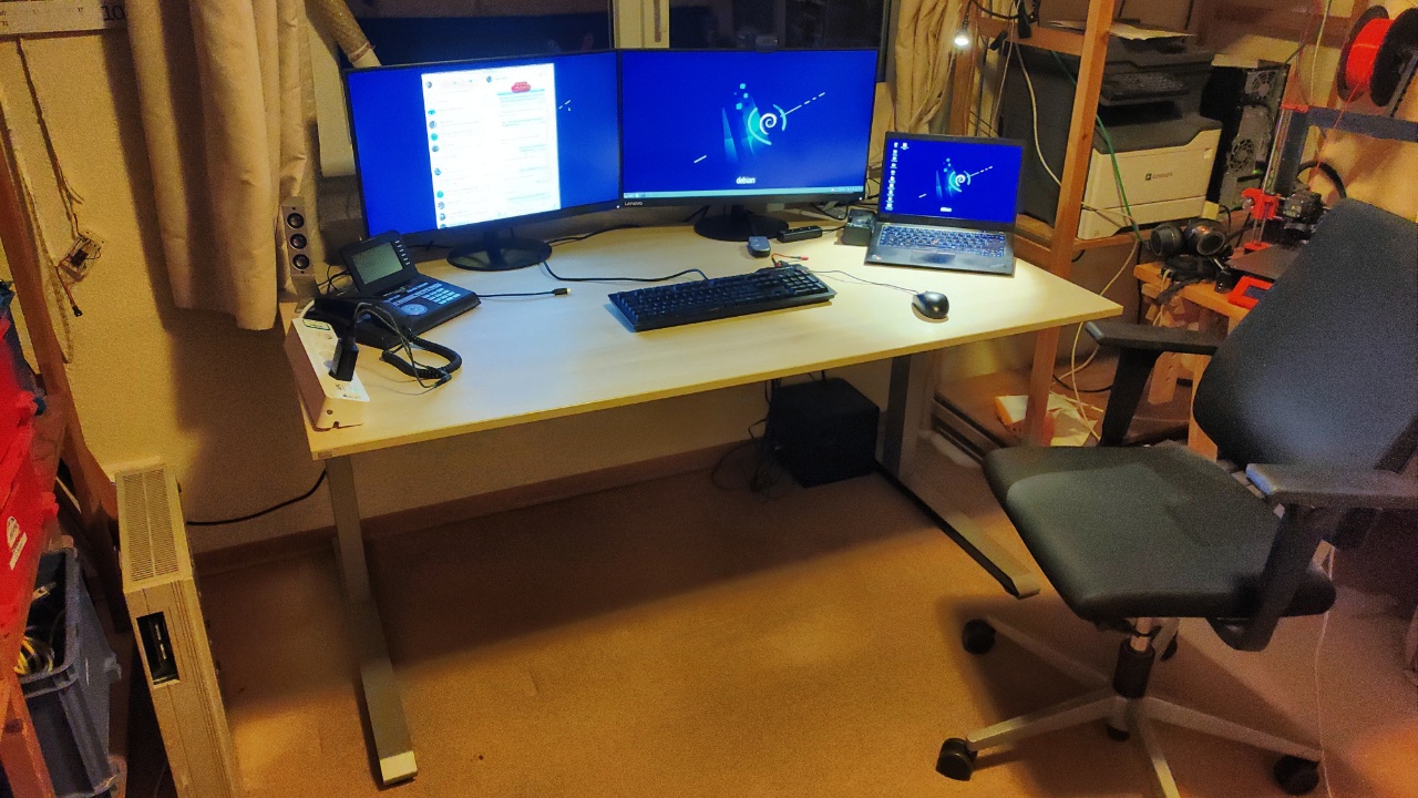
Arbeitsplatz erneuert
Gebraucht 2 Sedus Temptation Schreibtische erstanden. Upgrade des Arbeitsplatzes. Sehr schön geworden.
Weihnachtszeit
Man erkennt die Weihnachtszeit ja hauptsächlich daran das sich die Paketzusteller was für die Piktogramme in der Übersichtskarte einfallen lassen.
Hier DPD:

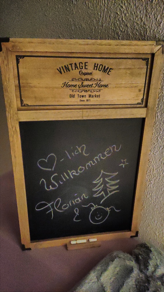
Begrüßung im Airbnb
Süß.